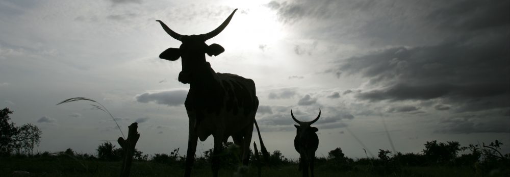
Cover image of Proceedings of the National Academy of Sciences (PNAS) Vol. 104. No 43. Copyright (2007) National Academy of Sciences, U.S.A. Reprinted with permission.
This joint research investigates the link between poverty incidence and geographical conditions within rural areas in Kenya.
The article, ‘Spatial determinants of poverty in rural Kenya’, is one of a series of research articles in PNAS’s Poverty and Hunger Special Feature focusing on poverty and sustainability science in developing countries. The ILRI paper analyses how geography determines welfare levels in rural Kenya and demonstrates why strategies targeting provincial level poverty reduction are needed to achieve broadscale development.
| PNAS Poverty and Hunger Special Feature
African exceptionalism dominates development needs today
‘When we began to put together this special feature on poverty and sustainability science, we sought significant science-based research and perspectives on poverty worldwide. However, the six articles that have emerged from a lengthy solicitation, preparation, and review process, with one exception, all focus on sub-Saharan Africa.’
‘(This) serves to provide the latest evidence for an African exceptionalism that dominates the development needs of today.’
‘Briefly stated, all developing country regions have shown marked improvement in key indicators of poverty, health, economy, and food, except for sub-Saharan Africa.’
‘Understanding African exceptionalism and contributing to its reduction is one of the grand challenges of sustainability science.’
— R.W. Kates and P. Dasgupta, African poverty: A grand challenge for sustainability science |
Geographical determinants of poverty in Kenya
ILRI’s research article ‘Spatial determinants of poverty in rural Kenya’ finds that poverty varies significantly and spatially within provinces, with some geographical variables important for reducing poverty in certain areas and not in others. This finding suggests that pro-poor policies need to be targeted to provincial levels rather than designed for blanket application across the country as a whole.
The latter fail to address the specific causes of poverty in different geographical areas. This analysis explores links among empirical data on poverty prevalence, inequality and population density. It uses widely different types of data from many sources, including socio-economic and environmental data, and identifies many geographical factors that influence poverty within provinces.
The authors found that distance/travel time to public resources as well as soil type, land elevation, type of land use, and demographic variables were key in explaining spatial patterns of poverty.
Having identified important poverty determinants, the researchers, from the International Livestock Research Institute (ILRI), Kenya’s Central Bureau of Statistics (CBS), World Resources Institute (WRI) and the International Food Policy Research Institute (IFPRI), then generated simulations to predict how changes in the levels of the various determinants would reduce or increase poverty.
ILRI scientist and lead author of the study, Paul Okwi, says:
‘Our policy simulations explored the impacts of various interventions on poverty at various locations.’
‘The results indicate that improved access to roads and improved soil fertility would significantly reduce poverty.’
‘While building roads is a long-term undertaking, improvements in soil could be made relatively quickly, with big impacts on alleviating rural poverty.’
‘Our analysis also shows that communities living in Kenya’s rangelands are likely to have the poorest access to roads and services and the poorest infrastructure in the country’ says Okwi.
Applications in and beyond Kenya
‘Developing better local-level understanding of poverty determinants, together with knowledge about how household level factors and broader national policies affect household welfare, will help policymakers and development practitioners help the poor better their livelihoods and welfare.’
‘It’s clear that combating poverty will require responses targeted to individual areas, rather than blanket responses’ says ILRI agricultural economist and co-author of the paper, Patti Kristjanson.
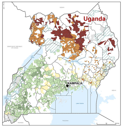
‘A similar study is already being conducted in Uganda and will soon be done in Tanzania. Results of the Kenya and Uganda studies are being analysed by policymakers revising the poverty reduction programs of those countries.’
Pastoral areas in greatest need
While this analysis helps explain some of the geographic determinants of poverty, there is a need to incorporate information from other data sources such as livestock and agricultural censuses, to refine the analysis.
ILRI’s Kristjanson says:
‘It’s clear, for example, that the design and implementation of effective policies to alleviate poverty among poor livestock keepers needs to be revisited.’
‘There is critical need to focus on the causes of poverty in this region’s vast pastoral areas.’
‘Policies that help build markets, health clinics and roads are critical in these areas’, says Kristjanson.
| What is ‘sustainability science’?
A new scientific approach to development is emerging in think tanks in North America and elsewhere. It goes by the somewhat awkward name of ‘sustainability science’ and ambitiously aims to bring together understanding in several widely different scientific disciplines to get research used for sustainable development of poor communities and countries.
A central problem in agricultural research for development is how to scale up successes to make a bigger difference for the poor. Sustainability science aims to provide new approaches for doing just that.
A leading group in this area is located at the Sustainability Science Program at Harvard’s Center for International Development. This group is led by William C Clark and Nancy Dickson, whose studies show that several centres of the Consultative Group on International Agricultural Research (CGIAR), including ILRI, have long been at the forefront of applying ‘research into use’ approaches.
We recommend ILRI readers look through the several articles in the Poverty and Hunger Special Feature of the USA’s Proceedings of the National Academy of Sciences (PNAS) (23 October 2007), which exemplify new publications in this emerging multidisciplinary area.
ILRI and Harvard are preparing a paper documenting ILRI’s experience with this integrated scientific approach to development, which will be will be published as an ILRI Innovation Works discussion paper and posted on this website in future.
For more information see Harvard’s Sustainability Science Program website
http://www.cid.harvard.edu/sustsci/index.html |
Further information
Citation:
Okwi, P.O., Ndeng’e, G., Kristjanson, P., Arunga, M., Notenbaert, A., Omolo, A. Henninger, N., Benson, D., Kariuki, P. and Owuor, J. (2007). Poverty and Hunger Special Feature: Spatial determinants of poverty in rural Kenya. Proceedings of the National Academy of Sciences (PNAS). Vol. 104. No 43. pp 16769-16774.
The article, Spatial determinants of poverty in rural Kenya, is a publication of a project jointly implemented by Kenya’s Central Bureau of Statistics (CBS) and ILRI, and funded by the Rockefeller Foundation.
Link to the article on the PNAS website: http://www.pnas.org/cgi/content/short/104/43/16769
The authors & their affiliations
Paul O. Okwia, Godfrey Ndeng’eb, Patti Kristjansona, Mike Arungaa, An Notenbaerta, Abisalom Omoloa, Norbert Henningerc, Todd Bensond, Patrick Kariukia, and John Owuora
a. International Livestock Research Institute (ILRI), P.O. Box 30709, Nairobi 00100, Kenya;
b. Central Bureau of Statistics (CBS), P.O. Box 30266, Nairobi 00100, Kenya;
c. World Resources Institute (WRI), Washington, DC 20002; and
d. International Food Policy Research Institute (IFPRI), Washington, DC 20006 |